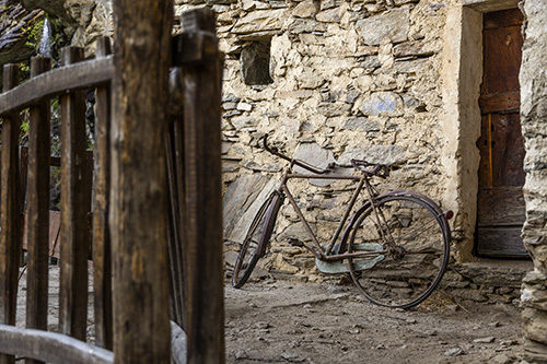
To reach the hamlet, you need to get to the municipality of Sanfront (CN) and park your car in one of the three car-parks located at the starting point of the walking paths.
How to reach Sanfront by car and the departure points of the walking routes:
From Saluzzo: follows the signs for the Upper Po valley, in the direction of Sanfront/Paesana. After going past the roundabout at the entrance to the town of Sanfront, at the end of the inhabited area you will see the first turning on the right signposted “Balma Boves” that takes you to the starting point of itinerary n° 3. To reach the starting points of itineraries n° 1 and n° 2, ignore the first crossroads and continue along the Provincial road in the direction of Paesana; after about 3 km you will come to another crossroads at the right signposted “Rocchetta-Balma Boves”; from here follow the signs for access to the various routes.
From Paesana: From Paesana/Colletta di Barge take the Provincial road in the direction of Sanfront, after about 3 km you will come to a cross-roads on the left signposted “Rocchetta” that will take you to the departure points of itineraries n° 1and n° 2. To reach the departure point of itinerary n° 3 ignore the cross-roads and proceed along the Provincial road, just before you get to the centre of Sanfront turn left at the junction signposted “Balma Boves”.
By bus: the Saluzzo-Paesana bus service is run by the ATI BUS Company, and the bus stop is near the BIVIO for the hamlet of Rocchetta (for further details: www.buscompany.it/ati).
Access for disabled transport is difficult, although it is possible by car, with the authorization of the town council, up to about 500 m from the hamlet (the last part of the route being on a stony bridle path).
Walking routes:
Route n. 1 “Road”: this is a tourist route, along a bridle path, and will take about 35 min.
This route begins from the cemetery square in the Rocchetta hamlet of Sanfront.
At the crossroads for the hamlet of Rocchetta descend along the road, and cross the bridge that crosses the Po river, and ignoring the subsequent signs on the right for Balma Boves (as they are the signs for route n. 2 “wood”), return upwards along the road for about 500 m, until you see the cemetery square on the left, where you park your car.
Continue to walk along the asphalted road for about 200 m, until you come to a turning on the right signposted “Balma Boves” (the left turn will take you into the hamlet of Rocchetta); proceed along the road continuing to follow the signs for about 1 km, and then turn right and take the bridle path, that is closed to vehicle traffic, and you will enjoy a walk on almost flat ground through the chestnut wood which leads to the small square of the Case Forano; from here the last part is on a paved bridle path which takes us to the entrance of the hamlet itself.
Route n. 2 “Wood”: a hiking route, on a path, that takes about 25 min.
The starting point of this route is the car park that is situated just before the “La vecchia centrale” guesthouse (former restaurant) in the hamlet of Rocchetta di Sanfront.
From the junction in the direction of Rocchetta descend along the road, crossing the bridge over the Po river, and leave your car in the small car park on the right, along the road, immediately after the bridge (bacheca).
Walk down the asphalted road for about 100 m and then turn right following the signs: “Balma Boves via the woodland route”; continue level with the old hydroelectric power station building (now a guesthouse) and proceed uphill on the asphalted road until you come to the first bend, from here it is necessary to leave the asphalted road, taking a right turn into the dirt road; this dirt road crosses a stream and you need to leave it immediately to ascend on the route that detaches itself on the left and climbs upwards (the first part is fairly steep) in the heart of the chestnut wood. Follow the signposted route which takes you over a chain and you will arrive at the pleasant square of Case Forano; from here the last section is a paved bridle path which takes you to the hamlet.
Route n. 3 “Borgata Garzini”: July 2023 –> CURRENTLY STOPPED
hiking route, along a track, which takes about 40 min.
To reach the starting point of this itinerary it is advisable to use the car-park in the area located after the bridge over the Po river in the hamlet of Mombracco, in the municipality of Sanfront (subsequent extended parking opportunities at the Garzini hamlet are few).
From the cross-roads at the inhabited area of Sanfront, proceed along the asphalted road and cross the bridge over the Po river; after the bridge at the road fork, park your car in the clearing on the left (signposted Balma Boves).
Then walk along the asphalted road (that has a steep incline) following the signs for Balma Boves. After about 1 km turn left on the dirt road and proceed until you reach a large boulder, from where you need to take a right turn on the track (first part is very steep), which takes you to the little bridge at the entrance to the hamlet.


